One of my absolute favorite places to visit on Kauai is Waimea Canyon State Park. Paired with Koke’e State Park, this is one of the prettiest, most colorful and wonderfully Hawaii places you can visit. The drive up Waimea Canyon and the stops along the way make it a fun day trip and one of the best ways to fall in love with Kauai. Have you visited before? If not, our guide to Waimea Canyon State Park is all you need to plan your adventure.
Whether you’re staying down the hill in Waimea (Kauai, not Waimea on the Big Island or Oahu), or if you’re up in Hanalei on the north shore, you’ll want to set aside time to do the drive and maybe an awesome hike here in the canyon. We have tips for planning your day, the stops to make and how to be prepared for what could be the muddiest adventure on your Kauai trip. If you have any questions about our recommendations or need help putting together your vacation plan, please leave a comment or send us a note. We’re always happy to share more and get you on your way to an amazing visit.
Waimea Canyon Guide Basics: Hours, Fees, and What to Expect
Drive Waimea Canyon by heading up Highway 550 from Waimea town, hitting the main lookouts in order, and adding in a hike if your legs and weather allow it. Get to the first overlook before mid-morning, pay the state park entrance fee, and enjoy the drive up into the mountains.
Here’s what to do for planning the day and really experiencing Waimea Canyon as best as possible:
- Fill your tank in Waimea town. There’s no gas station once the road starts climbing, and the grade eats fuel faster than flat coastal driving.
- Arrive early. Clouds build fast after mid-morning and can swallow the upper lookouts and Na Pali views by early afternoon.
- Bring cash or a card for the entrance fee. Non-residents pay $5 per person and $10 per vehicle to park, and that single payment covers both Waimea Canyon and Kōkeʻe State Park for the day.
- It takes about 40 minutes to drive from Waimea town to the final lookout if you’re not stopping and hiking.
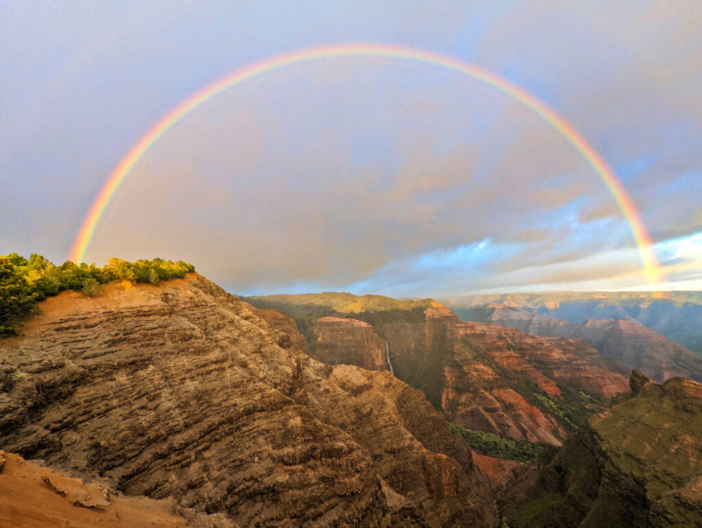
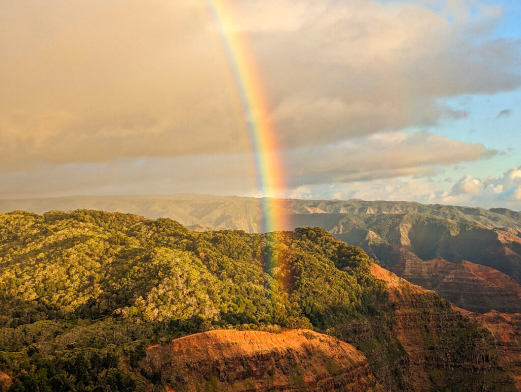
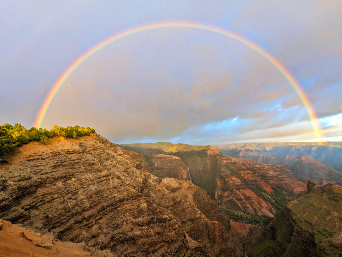
TIP: If you only remember one thing from this guide, remember this: morning light and morning clarity go together. Afternoon arrivals often stare into a wall of fog or crazy rain at the exact spot where a canyon should be. Having said that, if you time things right, you may just get some rainbows in the canyon.
Waimea Canyon Park runs on daylight hours, no gate, no reservation, just show up and pay at the self-registration station near the entrance. The canyon rim sits around 3,400 to 3,600 feet above sea level, which means temperatures drop noticeably compared to the beach you left that morning. Pack a light jacket even if you’re sweating in Poipu or Waimea. There are no gas stations, no full-service restaurants, and spotty cell coverage once you pass Waimea town. Plan your fuel, food, and downloaded maps before you start the climb.
| Need to Knows | Details |
|---|---|
| Hours | Open daylight hours, no fixed gate closing time |
| Non-resident fee | $5 per person, $10 per non-commercial vehicle |
| Resident fee | Free with valid Hawaiʻi ID |
| Children | Free for ages 3 and under |
| Coverage | One payment covers Waimea Canyon and Kōkeʻe State Park same day |
| Elevation at rim | Roughly 3,400 to 3,600 feet |
| Services | No gas stations, limited food, spotty cell service above Waimea town |
A few things trip up first-time visitors:
- The fee station takes payment before you reach the main lookouts, so don’t skip it thinking you’ll pay later. There is ALWAYS an attendant who will ensure that you pay.
- Bathrooms are found at a few lookouts, but they thin out the higher you go. The same goes for neighboring Koke’e State Park.
- Bring a printed or downloaded map. Signal drops in and out along most of Highway 550, and when you’re nearing the end of the road, you’ll want to know.
How Do You Get to Waimea Canyon on Kauai?
The main route is straightforward: drive to Waimea town on the island’s west side, then turn right onto Highway 550, also called Waimea Canyon Drive, and head up the hill. From there, the road climbs steadily for about 19 miles to Puʻu o Kila Lookout, the highest and last public overlook on the route. A secondary approach, Kōkeʻe Road (Highway 552) from Kekaha, joins the same route higher up and works as an alternate if you’re coming from the southwest side of the island and Polihale State Park.
Drive times depend completely on where you’re staying:
- From Lihuʻe, expect about 90 minutes to two hours to the first major lookout, factoring in a stop for gas and snacks in Waimea town.
- From Poʻipū, plan on roughly 75 to 90 minutes, since you’re already on the west side of the island.
- From Hanalei / Princeville, budget close to two hours, as you’ll cross the entire north shore before looping down to Waimea.
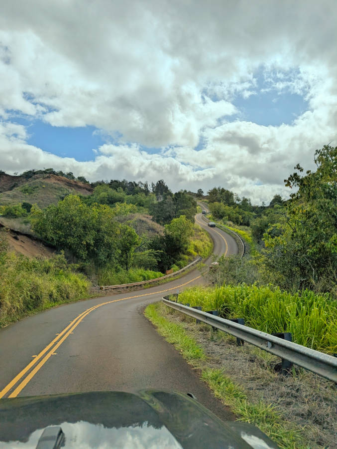
The road itself is paved and manageable for any standard rental car, but it’s narrow and winding in stretches, with switchbacks that slow traffic behind slower drivers or tour vans. Ongoing maintenance work occasionally causes delays and temporary lookout closures, so check current conditions before you commit to a tight schedule. I will say that even though I’ve driven and been passenger on the road to Waimea Canyon many times, I still get sick on this windy drive.
TIP: Download offline maps before you leave your hotel. Once you’re past Waimea town, data service becomes unreliable, and you don’t want to be guessing which pullout is which at mile marker 13.
Whether you treat this as a quick out-and-back or a full day of hiking and photography, the drive itself is one of the best parts of the whole visit, and the mile-marker sequence below tells you exactly where to stop as you head along the road to Waimea Canyon.
Which Waimea Canyon Lookouts Are Worth the Stop?
Waimea Canyon Drive lines up its best views like beads on a string, and you can easily just follow it to the end. When you’re done with Waimea Canyon, check out Koke’e State Park for a bit and then as the light changes through the day, do the stops along the drive in reverse as you make your way back down the mountain.
Mile marker 4: First View of Waimea Canyon. If this is your first visit, use this pull out to get a view of the start of Waimea Canyon. It only gets better, but if you have the time, stop everywhere!
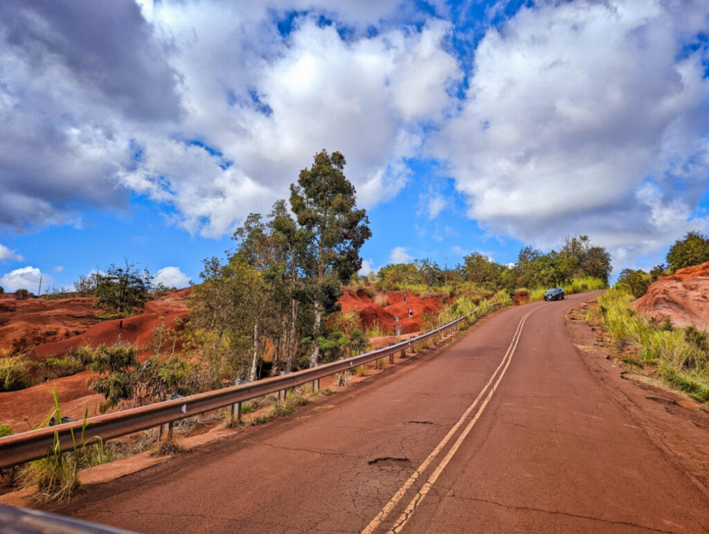
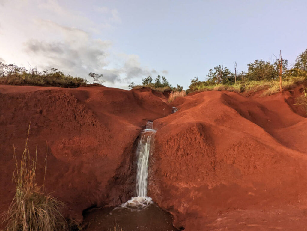
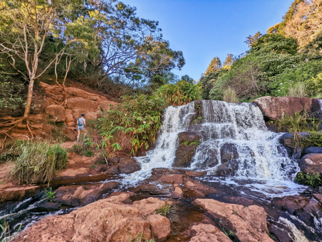
Mile maker 5: Red Dirt Waterfall. This is a pretty stop and it’s actually on the west side of the road, not on the canyon side. The Red Dirt Waterfall is small and is a continuous cascade down the hill over some of the prettiest red dirt on the island.
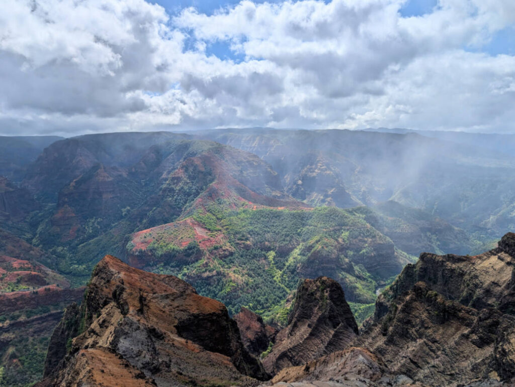
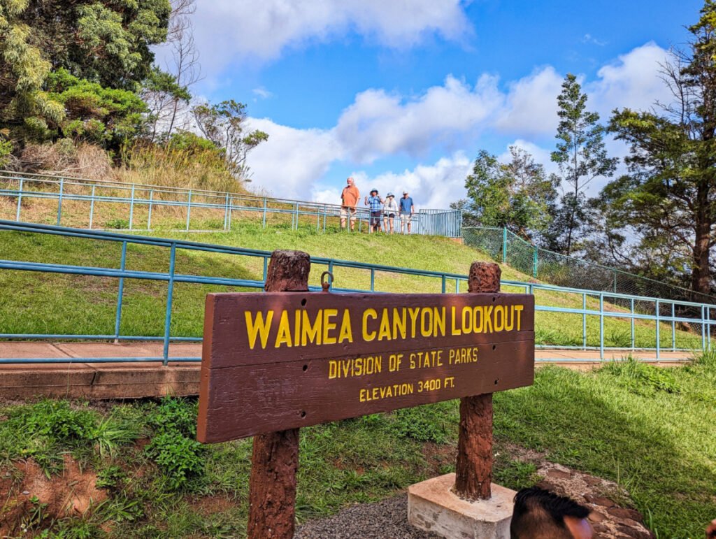
Mile markers 8 to 10: Iliau Nature Loop and Waimea Canyon Lookout. This stretch has the postcard shot most people picture when they hear “Waimea Canyon.” The Iliau Nature Loop is a flat, ten-minute walk that opens onto canyon views without any real hiking effort, making it the easiest first stop for anyone with mobility concerns or a tight schedule. Waimea Canyon Lookout itself, just up the road, is the classic wide-angle panorama and the busiest pullout on the drive, especially by midmorning. There are lots of stairs and also a very long switchback ramp to the lookout. **This is where you pay your state park fee.
Mile markers 12 to 13.5: Puʻu Ka Pele, Puʻu Hinahina, and the Waipoʻo Falls pullouts. These three stops give you a mix of canyon depth shots and, on clear days, a great look at Waipoʻo Falls tumbling down the far canyon wall. Puʻu Hinahina also splits into two viewing areas, one facing the canyon and one facing the ocean toward Niʻihau (but not the best view that way), so it’s worth walking both sides rather than snapping a photo from the parking lot and moving on.
Mile markers 17 to 19: the approach to Kokeʻe, Kalalau Lookout, and Puʻu o Kila. By this point you’ve left Waimea Canyon State Park and entered Kokeʻe State Park, and the views shift from the Waimea Canyon to the Na Pali Coast. Kalalau Lookout looks straight down into Kalalau Valley, one of the most photographed spots on the island, but it’s also the most weather-dependent stop on the whole route. Puʻu o Kila, just a few minutes further, is the true end of the road and offers a slightly different angle on the same valley.
Roughly 44 percent of the elevation gain on this drive happens in that final stretch between Waimea Canyon Lookout and Puʻu o Kila, which explains why the weather can look completely different at the two ends of the same road. If Waimea Canyon Lookout is clear but hazy, don’t assume Kalalau will be the same. It’s often better, and sometimes much worse.
What Are the Best Hikes in Waimea Canyon?
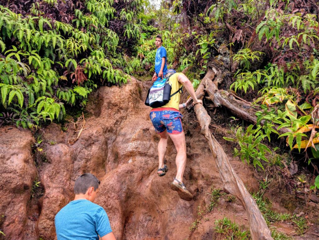
Pick your hike based on how much time you have and how your knees feel about a 2,000 foot elevation change, because Waimea Canyon’s trail list runs from a ten minute stroll to a legitimate all-day trek. Keep in mind that even though this is a State Park and there is regular trail maintenance, some of the trails are still really rough and if it’s a wet day will be crazy muddy.
- Iliau Nature Loop (easy, 10 to 15 minutes). This short loop near the 9 mile marker suits families, first-timers, and anyone easing into the altitude. It’s flat, well marked, and delivers a canyon view without breaking a sweat.
- Cliff Trail (easy for the most part, 30 to 60 minutes round trip). Starting at the Pu’u Hinihina Lookout, this short trail leads to an open canyon viewpoint that feels more dramatic than the short walk suggests. It’s a good add-on if you’re already stopped at the lookout and want one more view without doing an extreme hike.
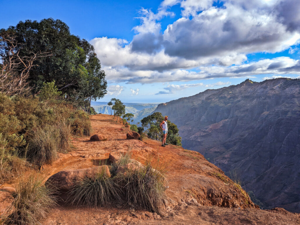
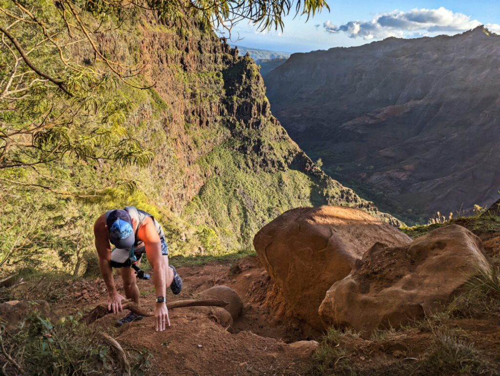
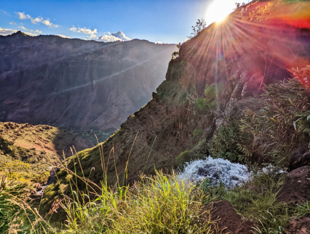
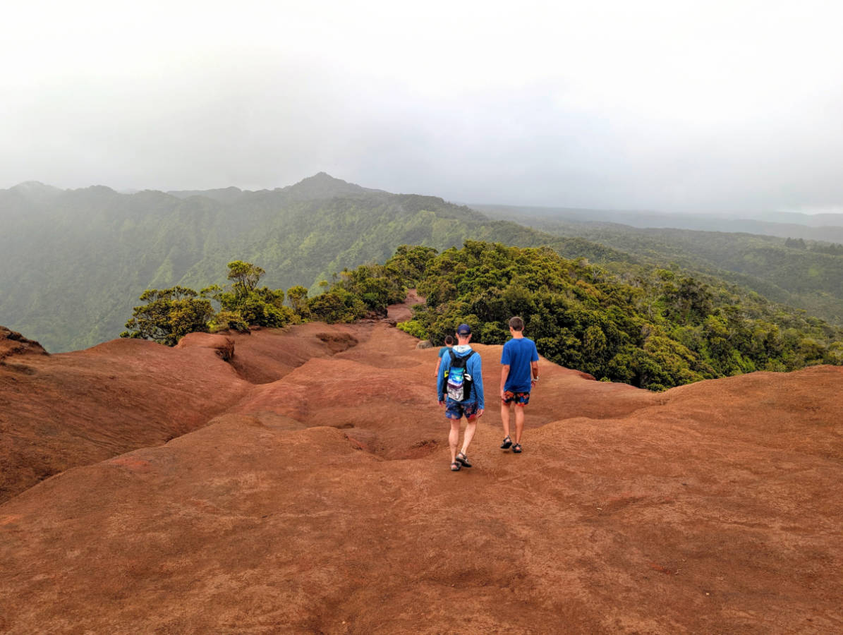
- Waimea Canyon Trail to Waipoʻo Falls (moderate to hard, roughly 3.5 to 5 miles round trip depending on how far you go, 3 to 4 hours). Starting near Puʻu Hinahina Lookout, this trail winds down into the canyon and rewards you with a close-up look at Mini Falls and the the top of Waipoo falls that you only glimpsed from the road. Expect a real elevation change on the return climb, red dirt that turns slick after rain, and a solid three to four hours if you pace yourself and take photos. Y’all, this is a fun but crazy trail.
- Kukui Trail (strenuous, roughly 5 miles round trip). This is the trail that separates casual visitors from committed hikers. It descends about 2,240 feet to the canyon floor, starting about three quarters of a mile past the 8 mile marker on Highway 550 (closer to town), and ends near the Wiliwili campsite. The descent is manageable; the climb back out in afternoon heat is where people underestimate themselves. Budget most of a day, carry more water than feels necessary, and start early. This is a HARD HIKE.
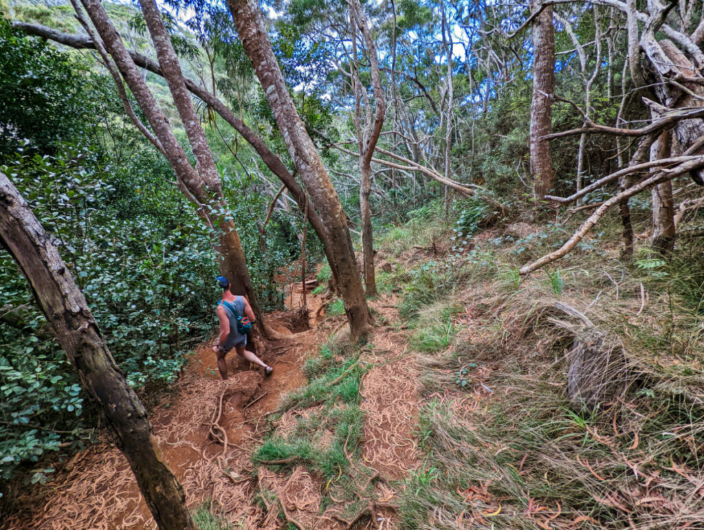
- Pihea Trail and Awaʻawapuhi Trail (moderate to strenuous, Kōkeʻe access). Both trails lead to completely different types of viewpoints rather than canyon views, and both reward hikers who start at sunrise or early morning before clouds roll in. Pihea Trail connects toward the Alakaʻi Swamp boardwalk if you want to extend the day into native bog forest, a genuinely different landscape from anything you’ll see on the canyon side. The Awa’awapuhi Trail is the forest leading to a Na Pali Coast view (my kids hate this hike, but I think it’s great).
TIP: After any rain, the red clay on Waimea Canyon Trail and Kukui Trail turns into something closer to wet paint than dirt. Trekking poles help more than fancy shoes, and a change of clothes in the car isn’t a bad idea. The Awa’awapuhi trail also has lots of roots on it, which turn into slippery trip hazards.
How Much Does It Cost to Park at Waimea Canyon?
The fee structure is simple once you know it, but it trips up plenty of visitors who expect a flat entrance price like a mainland national park charges. Non-residents pay $5 per person and $10 per non-commercial vehicle, and kids age 3 and under get in free. Hawaiʻi residents skip the fee entirely with valid state ID. Here’s the part that actually saves you money: that single payment covers both Waimea Canyon State Park and Kokeʻe State Park for the entire day. Pay once at the entrance, and you can hike, stop at lookouts, and visit the museum in Kokeʻe without paying again.
- Self-registration stations accept cash and, at some locations, card payment, though it’s smart to carry small bills as a backup. You’ll provide your license plate number for the registration. There’s usually an attendant to answer questions.
- Keep your receipt visible on the dashboard. Rangers do check periodically, especially during busy weekends.
- Commercial tour vehicles pay a separate, higher rate set by DLNR, which is one reason self-driving often works out cheaper for solo travelers and couples.
Half-Day and Full-Day Waimea Canyon Itineraries
Match your itinerary to how much time you’ve actually carved out, not how much you wish you had. Remember that you have the winding drive back down the mountain that cannot be rushed, so if you have an evening event or reservation, plan accordingly.
- Quick plan (1 to 2 hours): Drive straight to Waimea Canyon Lookout near mile marker 10, walk the Iliau Nature Loop, snap your photos, and head back down. This works well for cruise ship days or anyone squeezing the canyon between other plans.
- Half-day plan (3 to 4 hours): Hit Waimea Canyon Lookout, Puʻu Ka Pele, and Puʻu Hinahina, then either tackle the moderate hike to Waipoʻo Falls if the weather is dry or stop at the Kōkeʻe Natural History Museum for some interesting info on the canyon’s ecology and trails. This is the best plan for most visitors who want more than a drive-by but don’t have a full day to spare.
- Full-day plan (6 to 8+ hours): Start at the bottom before 8 a.m., work through every lookout in sequence, tackle Kukui Trail or the Waimea Canyon Trail to Waipoʻo Falls, then push on to Kōkeʻe for the museum and finish at Kalalau Lookout and the other Kokee viewpoints if the weather holds. This plan also leaves room for a detour toward Kokeʻe State Park’s upper trails if you’re not wiped out by mid-afternoon and the weather is still good.
Build in an extra 30 to 45 minutes of buffer for roadwork, crowded parking at popular pullouts, and the reality that mountain weather doesn’t care about your schedule. Sometimes you’ll get to the top of Waimea Canyon and be fully socked into the clouds and fog and you’ll need to sit in your car for a half hour for it to clear up.
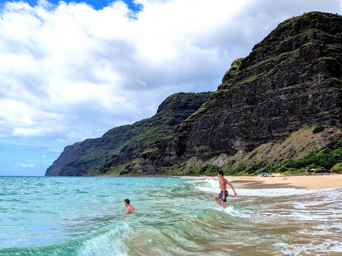
BONUS PLAN: when you’re done in Waimea Canyon and Kokee State Parks, as you head back down, turn onto the Kokee Rd 552 and turn right onto the highway to visit Polihale State Park, but ONLY if you have a high-clearance / 4WD vehicle. It’s an amazing beach and the views are insane, but a regular car cannot do it.
What Should You Pack for Waimea Canyon?
When you come to Waimea Canyon under-preparedness will make your day a bit less fun. You won’t get stranded, but you might get soaked, sunburned, and out of water two miles from the trailhead. Or you might plan your day to be too short and miss the good lighting and just be rained on. You should be prepared for it all.
Pack these essentials before you leave your hotel:
- More water than you think you need. There are no refill stations on the trails, and elevation plus sun exposure dehydrates you faster than a beach walk does.
- Layered clothing. The rim temperature runs a lot cooler than the coast, and a light rain jacket is worth its space in your bag if you don’t like to get wet.
- Sturdy, closed-toe shoes with real tread are required for hikes. Flip-flops on red clay after rain is how ankles get twisted or people slide down into the canyon.
- Sun protection: hat, sunscreen, sunglasses. The elevation means less atmosphere filtering UV, even on overcast days.
- Snacks and a small first-aid kit, since the nearest real store is back down in Waimea town and the restaurant at the Kokee Lodge has limited hours.
The bigger hazards are the ones you don’t see coming: muddy clay trails that turn into slip hazards, steep cliff edges at unfenced lookouts, and the genuine risk of flash flooding during heavy rain. Cell service is unreliable above Waimea town, so tell someone your hiking plan before you start.
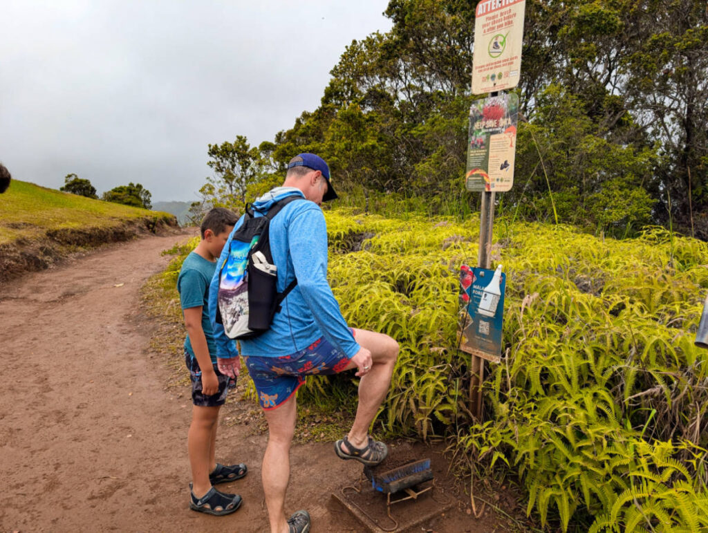
TIP: Always stay on marked trails, even when a “shortcut” looks obvious. Waimea Canyon’s ecosystem includes native plants that don’t recover quickly from foot traffic, and erosion off-trail contributes to the very red-clay mess that makes hiking miserable after rain. And falling into the canyon is a real risk.
Should You Continue to Kokeʻe and Kalalau Lookout?
Kokeʻe State Park picks up where Waimea Canyon Park leaves off, and it’s worth the extra 15 to 20 minutes of driving if your legs and the weather cooperate. This is where you’ll find the real amenities: the Kōkeʻe Natural History Museum, Kokee Lodge (restaurant and gift shop), picnic areas, and trailheads into a very different landscape than the dry canyon below.
- The museum has exhibits on the canyon’s plants, birds, and history, and it’s a good rest stop between hikes.
- Trailheads to Alakaʻi Swamp and Pihea Trail start near Kōkeʻe, leading into native bog forest that feels almost nothing like the red canyon you just drove through.
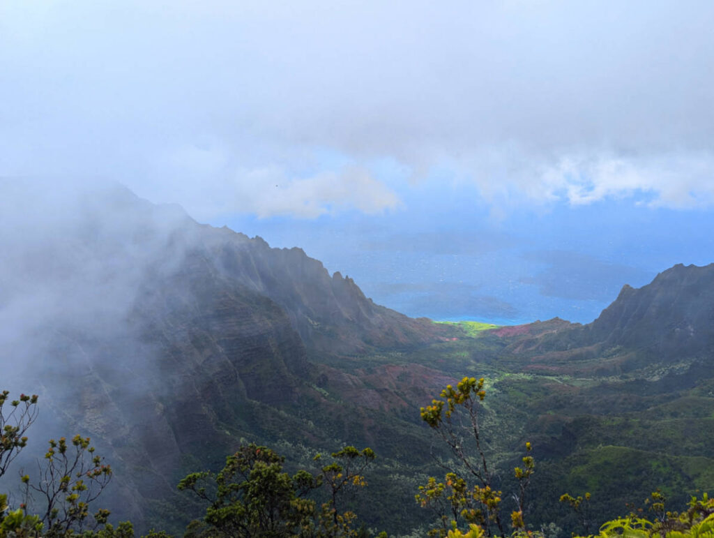
- Kalalau Lookout, the best view in this section, looks straight into Kalalau Valley and the Na Pali Coast, but it’s the single most weather-dependent stop on the entire route. I’ve been here many times… and only actually had a clear view maybe twice.
Save Kalalau for after you’ve hit the canyon lookouts, since clouds tend to roll into the upper elevation first. If you arrive at Kalalau and see nothing but mist, wait 15 minutes. Coastal weather here shifts fast, and patience sometimes pays off with a clearing window.
Should You Drive Yourself or Book a Guided Tour?
Both options work, and the right call depends on how you feel about narrow mountain roads and how much time you’re willing to spend behind the wheel.
- Self-driving gives you full control over your time and stops. Skip a lookout that’s fogged in, linger longer at the Waipoo Falls viewpoint, or turn around early if the weather sours. It’s also cheaper if you’ve already got a rental car, since you’re only paying the park entrance fee.
- Guided tours hand off the driving stress entirely. A guide handles the switchbacks, guarantees a parking spot at popular pullouts, and often adds narration about the canyon’s history and ecology that a self-guided trip won’t give you. THIS TOUR includes a few other Kauai sights and picks up in Lihui.
Guided tours tend to fit best for visitors who are coming from a cruise ship, dislike winding mountain roads, travelers without a rental car, or anyone on a tight schedule who wants the day planned for them. Self-driving suits hikers and photographers who want flexibility around light and weather, and anyone traveling with a car already. Book tours a few days ahead during peak season, since popular departure times fill up.
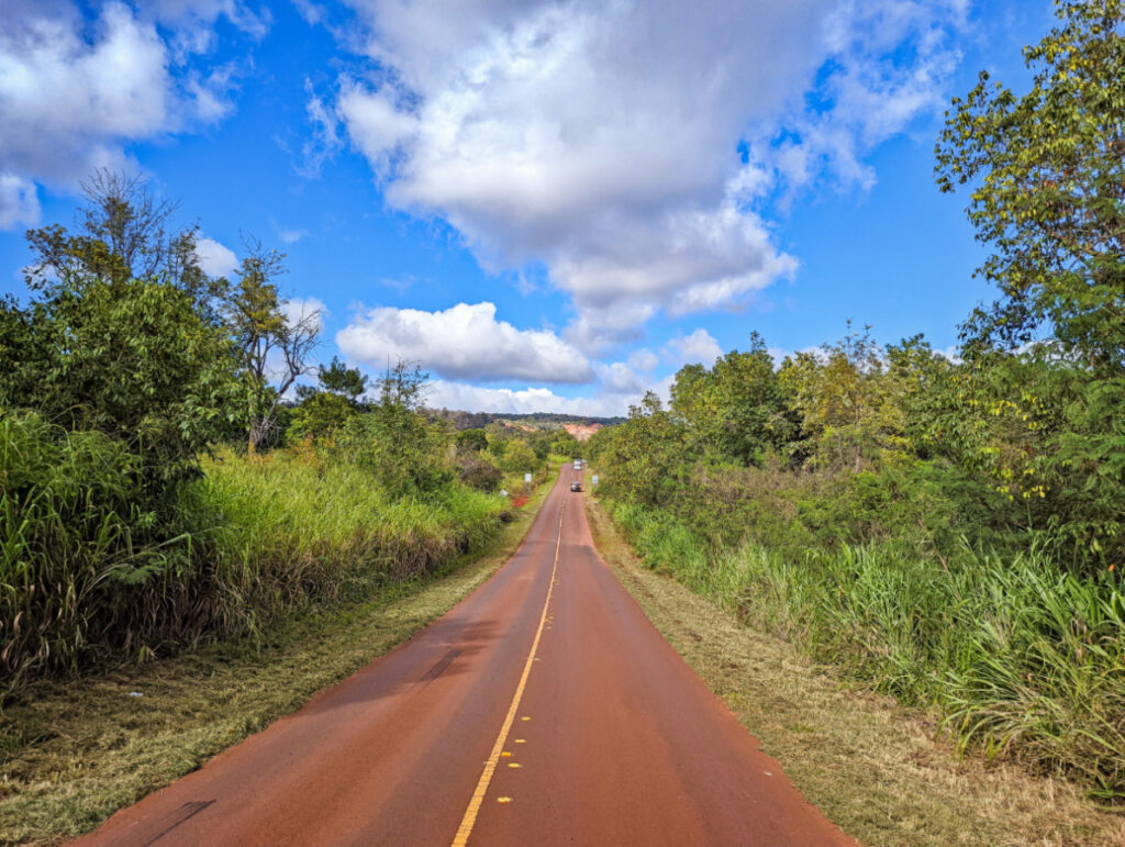
Interesting Info about Waimea Canyon
I always like to learn about where I’m visiting and I think other people do too. Waimea Canyon is more than a pretty drive or a hiking destination, so take a sec and learn a little more about the nature and people of Kauai.
What Plants and Animals Live ONLY in Waimea Canyon?
Waimea Canyon’s isolation, both from the rest of Kauaʻi and from the other Hawaiian Islands, produced a batch of plants and birds you won’t find wild anywhere else on Earth. The canyon’s dry, red-dirt slopes support native shrubs and grasses adapted to volcanic soil and minimal rainfall compared to the rainforest just a few miles away at Kōkeʻe (where the swamp is).
Higher up, where the trails push into Kōkeʻe and the Alakaʻi Swamp, the ecosystem shifts entirely into wet native forest. This zone is home to some of Hawaii’s rarest honeycreepers, small forest birds that evolved in isolation and now exist nowhere outside these upper elevations. Spotting one takes patience and quiet, early morning attention rather than luck.
The canyon walls themselves host hardy native plants clinging to nearly vertical rock faces, a reminder that this landscape has been shaping its own residents for a very long time. Non-native species, goats (you read that correctly) and certain invasive plants among them, have also taken hold in parts of the canyon, which is part of why staying on marked trails matters. Off-trail foot traffic disturbs the fragile native plant communities that took centuries to establish themselves on those slopes, and every social-media shortcut off a trail edge chips away at ground that isn’t coming back anytime soon.

How Did Waimea Canyon Form?
I love geology and talking about erosion! Waimea Canyon exists because of water, time, and a volcano that’s been quietly eroding for roughly four million years. Kauai is the oldest of the main Hawaiian Islands, which means it’s had far longer than younger islands like the Big Island to let rivers and rain carve into its volcanic rock.
The canyon itself formed largely along fault lines created when part of the original volcanic shield collapsed, creating a natural channel for the Waimea River to exploit over millions of years. Heavy rainfall on Kauai’s interior, some of the wettest terrain in the United States, fed a river system that kept cutting deeper into the same weak points in the rock, eventually carving a gorge that runs about ten miles long and up to 3,000 feet deep in places.
Satalite imagery of the canyon shows the layered red, orange, and green rock bands clearly from space, a visual record of countless lava flows stacked and then sliced open by millions of years of erosion. That reddish color comes from iron-rich volcanic soil oxidizing, essentially rusting, over an immense stretch of geological time. It’s the same basic process that turns an old nail orange, just scaled up across an entire canyon wall.
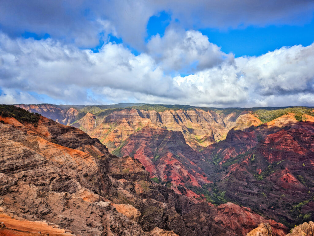
What Does Waimea Canyon Mean to Native Hawaiians?
Waimea Canyon and the surrounding uplands hold deep meaning for Native Hawaiians, and that history predates the “Grand Canyon of the Pacific” nickname by many centuries. The Waimea River valley below the canyon was a significant settlement area, with agricultural terraces and cultural sites tied to traditional Hawaiian land management practices that shaped how communities used the region’s water and soil… and then colonizers brought in sugar cane and sadness.
The name itself, Waimea, translates roughly to “reddish water,” a direct reference to the iron-rich sediment the river carries down from the canyon’s oxidized rock. That’s not a tourism-brochure detail. It’s the original, functional description Hawaiians gave the place long before anyone drove a car up Highway 550. A lot of Hawaiian names are broken down to simple descriptions like this.
Kōkeʻe and the upper forest areas also carry significance tied to native plant gathering and traditional ecological knowledge, practices that shaped sustainable use of these upland resources for generations. Modern conservation efforts around the Alakaʻi Swamp and native bird habitat build directly on that older understanding that this landscape requires careful, limited use to stay healthy. Respecting posted trail boundaries and cultural sites isn’t just a park rule. It’s a continuation of a much older relationship between people and this particular stretch of land.
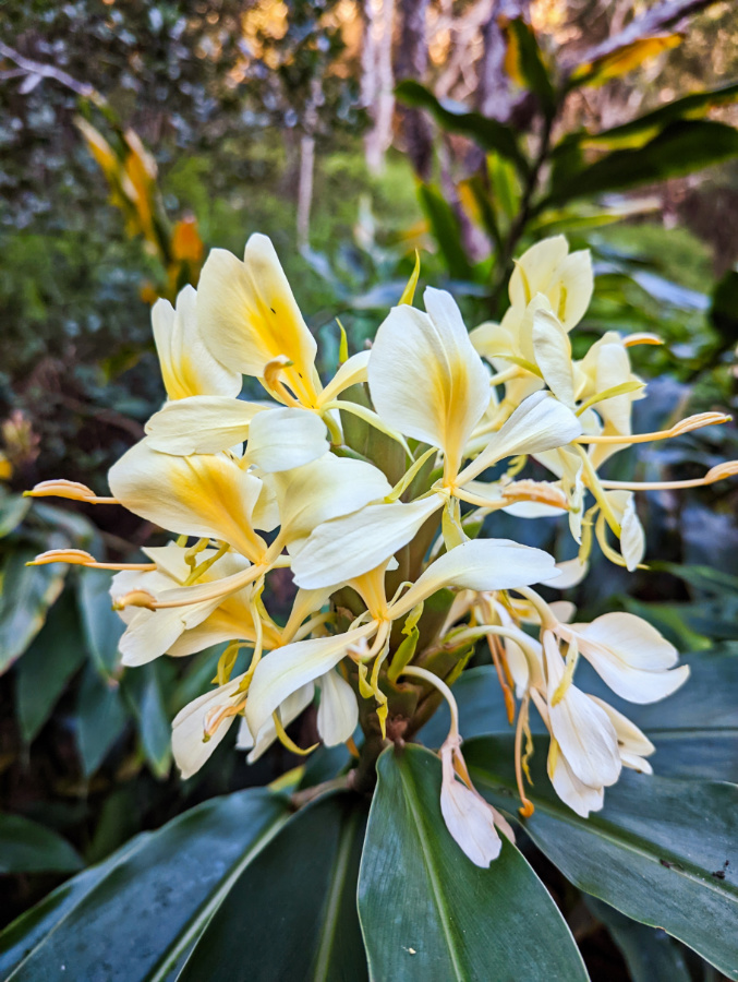
What Amenities Are Near Waimea Canyon?
Services thin out fast once you leave the coast, like to only one place, so knowing what’s actually available up top saves you from unpleasant surprises. The Kokeʻe Natural History Museum, near the 15 mile marker, has restrooms, water, gift shop items, and exhibits on the canyon’s ecology, making it the most reliable amenity stop on the entire drive. There’s also a restaurant in the nearby lodge building.
Beyond the museum, expect vault toilets at a handful of major lookouts, including Waimea Canyon Lookout and Puʻu Hinahina, but don’t count on running water or soap at most of them. Food options are nonexistent above Waimea town so pack snacks and a real lunch if you’re planning a full-day visit, since the lodge restaurant and museum aren’t always open.
Waimea town itself, at the base of the drive, is your last real chance for gas, groceries, and a sit-down meal before the ascent. A few small local eateries and general stores line the main road through town, worth a stop both for the practical fuel-up and for supporting small local businesses before you head into the park.
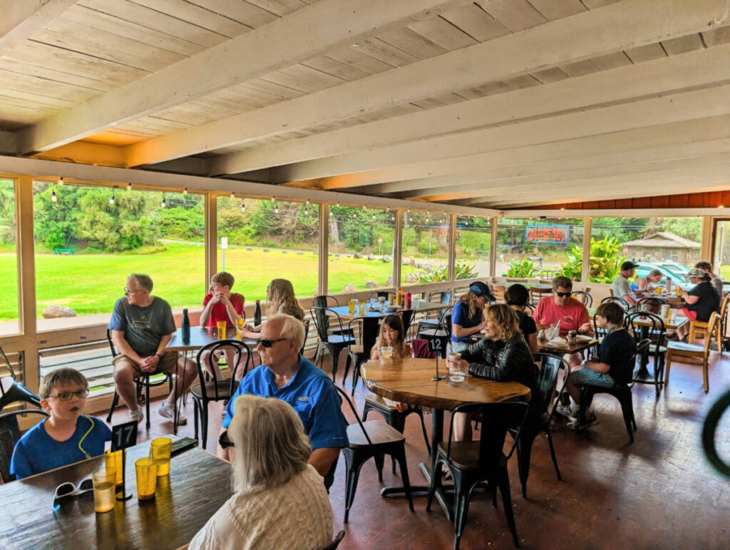
How Does Weather Affect Waimea Canyon Trails?
Weather on Kauaʻi’s west side and upper elevations behaves almost like two different climates stitched together, and that split directly shapes what you can safely do on any given day. Lower canyon trails stay relatively dry most of the year, but the upper reaches near Kōkeʻe and Alakaʻi Swamp sit inside one of the wettest zones in the United States, which means rain, and the mud that follows it, is a near-constant variable. Seriously, the mud is intense.
Heavy rain turns the canyon’s signature red clay into a real hazard, not just an inconvenience. Trails like Kukui and the route to Waipoʻo Falls become slick enough to make a controlled descent difficult (you may want to sit-scramble at times), and stream crossings on upper trails can rise fast enough to catch hikers off guard. Flash flooding is a real, if infrequent, risk during heavy downpours, particularly in narrow gulches where water has nowhere to go but down.
Cloud cover follows its own daily pattern that matters just as much as rain. Mist and low clouds typically build through the morning and thicken by early afternoon, which is exactly why starting your visit early does more for your trip than almost any other single decision. A trail that’s perfectly safe and clear at 8 a.m. can turn into fog-covered guesswork by 1 p.m., not because conditions got dangerous, but because you simply can’t see where you’re going anymore. Go early, go slow, and don’t try to cram every lookout and every trail into one rushed afternoon. Waimea Canyon is awesome if you have patience to wait for clear light and the clouds to lift.
More Things to do on Kauai
Kauai is my second favorite island so I always have ideas for fun and beautiful things to do on Kauai. Because the island isn’t huge and there’s just the one road going around it (not even all the way), you can plan adventures on both the north and south shore in the same day as long as you allow yourself time to get between destinations. Here are our top picks for some of the best things to do on Kauai.
- Beach days at Poipu (south shore), Lydgate (east) or Hanalei (north)
- Smith’s Hawaii Wailua River Cruise – Kapaa, east
- Kauai Coffee Co tour – near Hanapepe, south
- Waimea Canyon State Park – Waimea, south
- Na Pali Coast hiking at Haena State Park – Waineha, north
- Kilauea Lighthouse and Wildlife Refuge – Kilauea, north
There are, of course, many more things to do and so many beautiful hikes and beaches, but these are just our top picks that you can easily add to your Kauai itinerary to ensure you have an amazing experience here on the Garden Island.
Where to Stay on Kauai
There are three main areas to choose from when you’re planning your trip to Kauai. You can be on the east side (Lihue or Kapaa), the South Shore (Poipu, Koloa or Waimea) or on the North Shore (Princeville or Hanalei). I actually prefer to stay in Kapaa because it’s directly in the center. We’ve stayed all over though and it’s always easy to get around. The south shore is the most interesting with towns and epic sights, and then the east is most convenient with easy tourist activities and beaches, and then the north is much more rugged and is the start of the Na Pali Coast. Take your pick!
Here are some of the places we’ve enjoyed around Kauai:
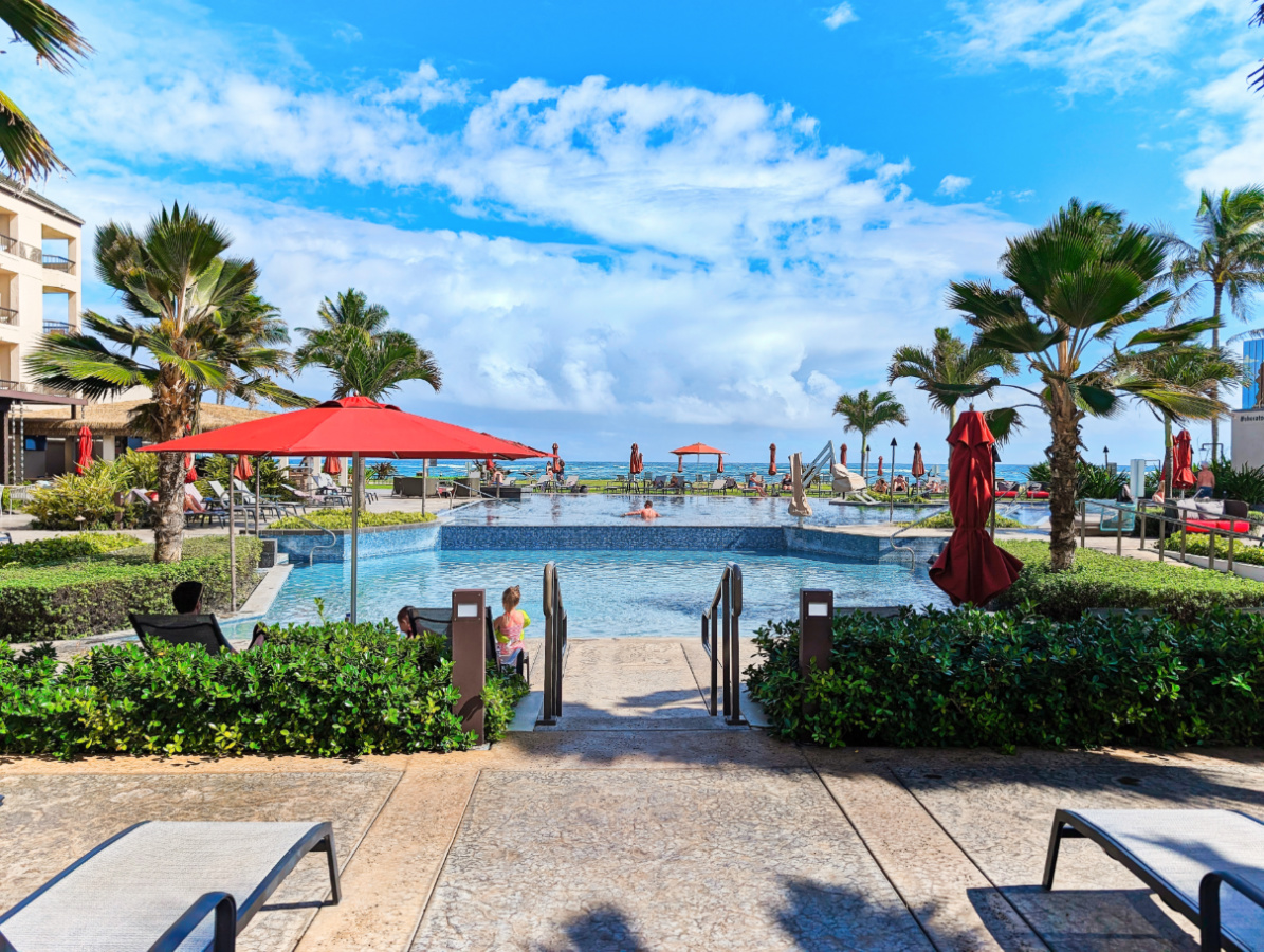
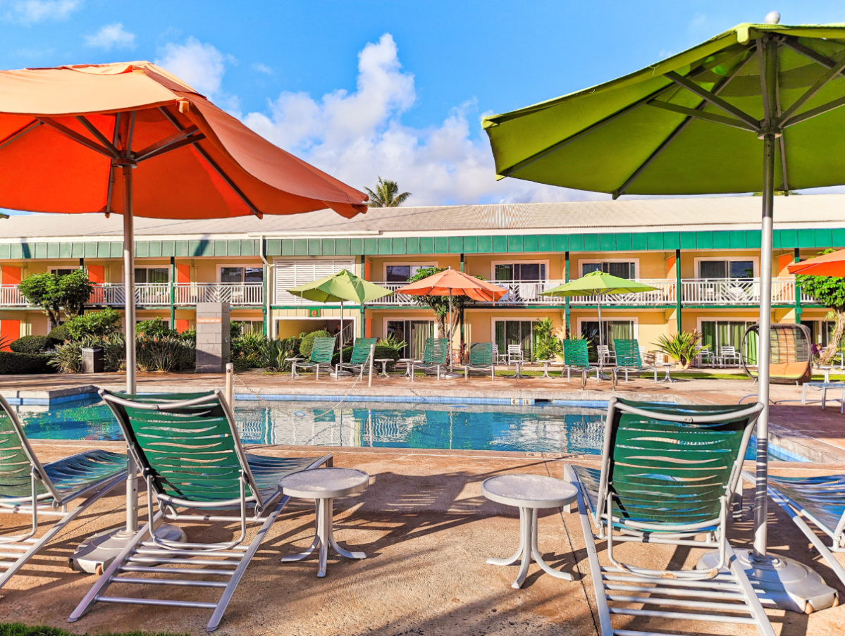
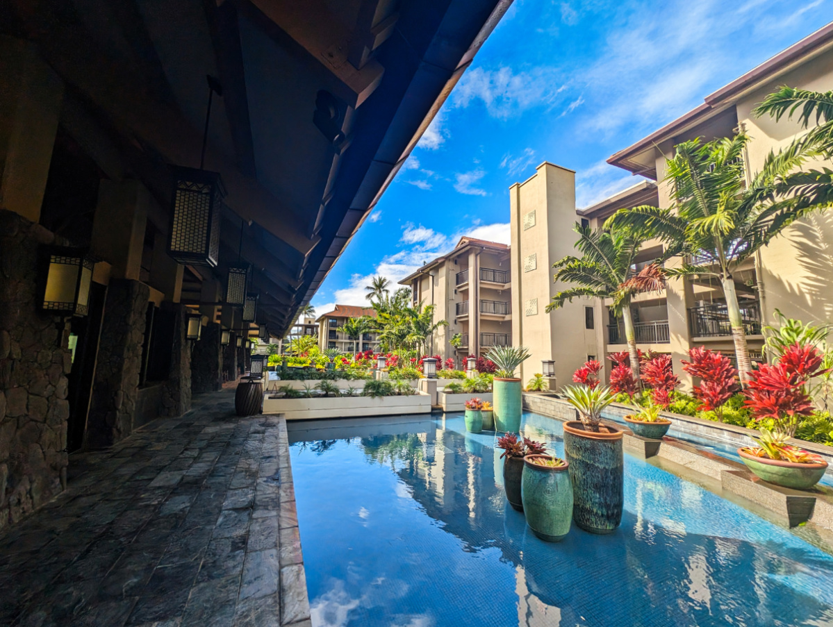
That should be everything you need to know to plan your drive up into Waimea Canyon to explore. It’s really one of the prettiest places in all of Hawaii and worth the time and effort to visit. If you have any questions about planning your trip or need more suggestions for things to do around Kauai, please leave a comment or send us a note. We’re always happy to share more to help you have a wonderful visit.